
Published By: Printed for C. Smith
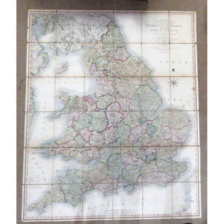
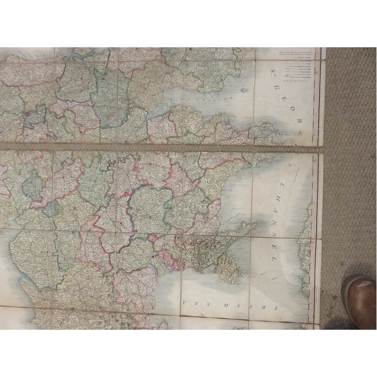
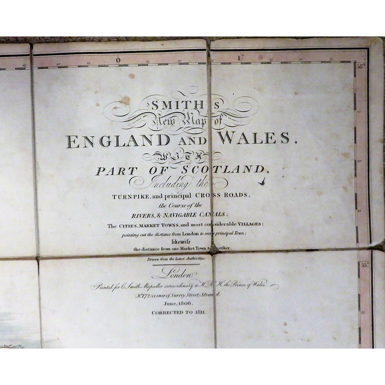
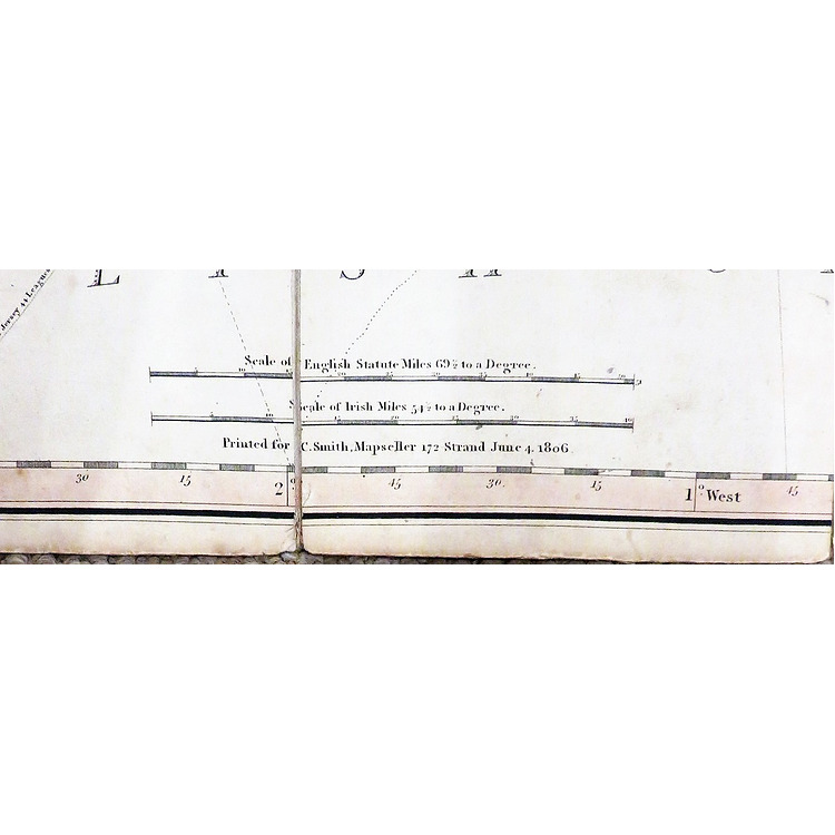
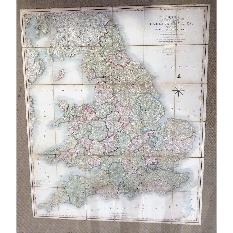
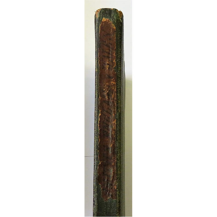
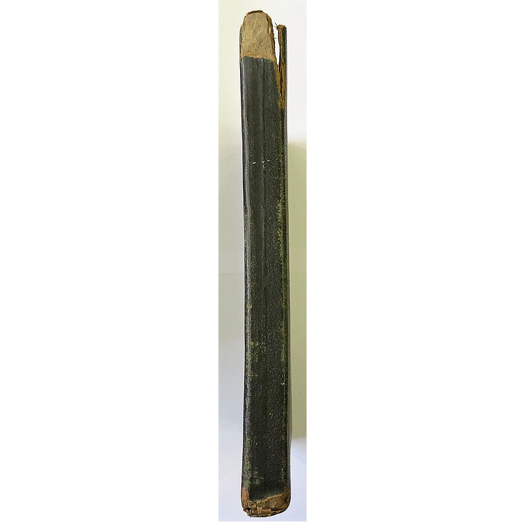
the Course of the Rivers & Navigable Canals. the Cities, Market Towns and most considerable Villages, pointing out the distance from London to every principal town likewise the distance from one Market Town to another. Drawn from the latest Authorities. June 1806 corrected 1811. A folded map backed onto canvas housed in its original slip case. The map has split into two parts horizontally with a few tears along the folds. Although the map itself is still in good condition. Slip case still has its original paper label although this is worn in parts. Rubbing and wear to the extremities of the slip case. Map measures approximately 116cm x 95 cm. Slip case measures approximately 20cm x 17 cm. A scarce copy.
Book Condition: Good
Author: Charles Smith
Binding: Soft
Ref: 093057
Price £160.00