
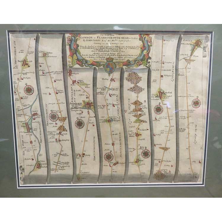
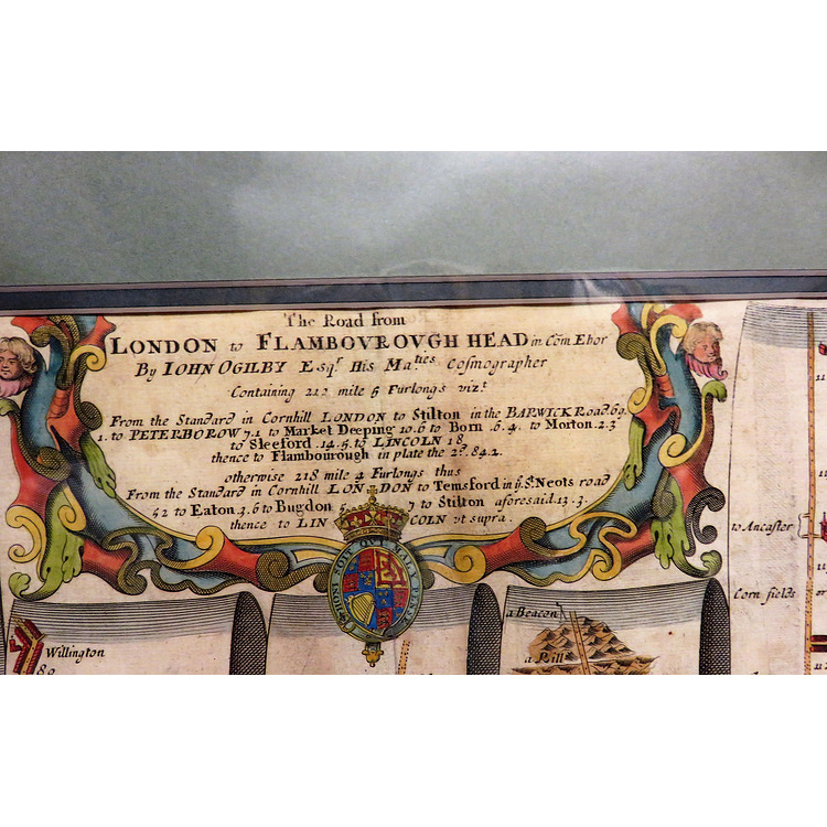
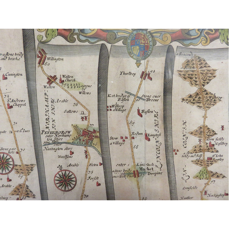
Circa 1675 taken from Ogilby's "Britannia" the first national Road Atlas of any Country in Western Europe. Coloured and in good condition with just a little age-toning/browning in places. The map itself measures approximately 45cm x 34cm and is double mounted in dark green taking the measurement to approximately 54cm x 45cm. It shows the journey from London to Flamborough Head in seven strips, mile by mile, showing every town, village and milestone along the way. Large decorated title cartouche to the top.
Book Condition: Very Good
Author: John Ogilby
Binding: Soft
Ref: 097199
Price £165.00