
Edition: First Edition
Published By: John Bartholomew & Son Ltd
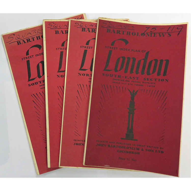
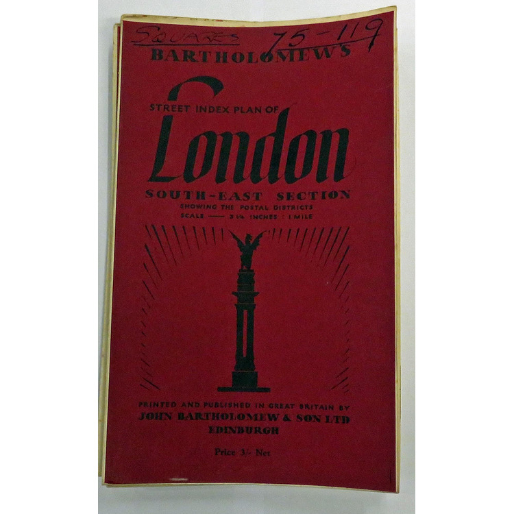
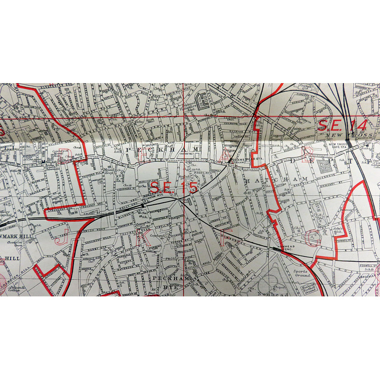
Bartholomew's Street Index Plan Of London in four parts consisting of; South East Section, North East Section, North West Section, South West Section. Showing The Postal Districts; Scale- 3 1/4 inches:1 mile. No date, price of 3/ Net to the base of the front cover. When folded each map measures approximately 14cm x 23cm ( 5.5 inches x 9inches) and unfolded approximately 114cm x 92cm ( 44 inches x 36.5 inches ). Burgundy paper covers in good condition although sunned with pen notation to the top, rear cover clean. There is a small closed tear along a fold line to one map otherwise all four maps are in a good clean condition.
Book Condition: Very Good
Binding: Soft
Ref: 106318
Price £85.00